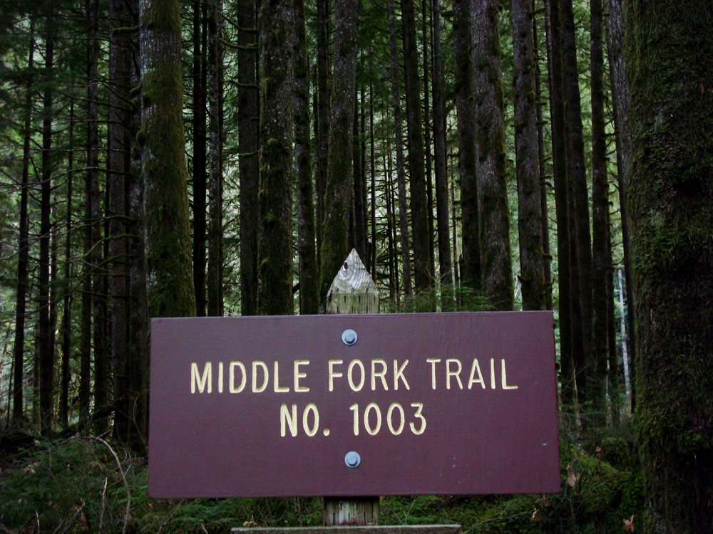
Middle Fork


Middle Fork - Snoqualmie Trail
The Lush, Green, Middle Fork Trail
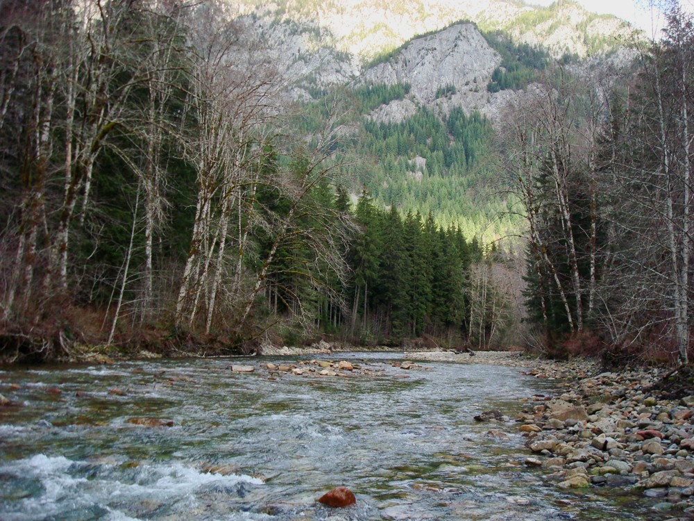
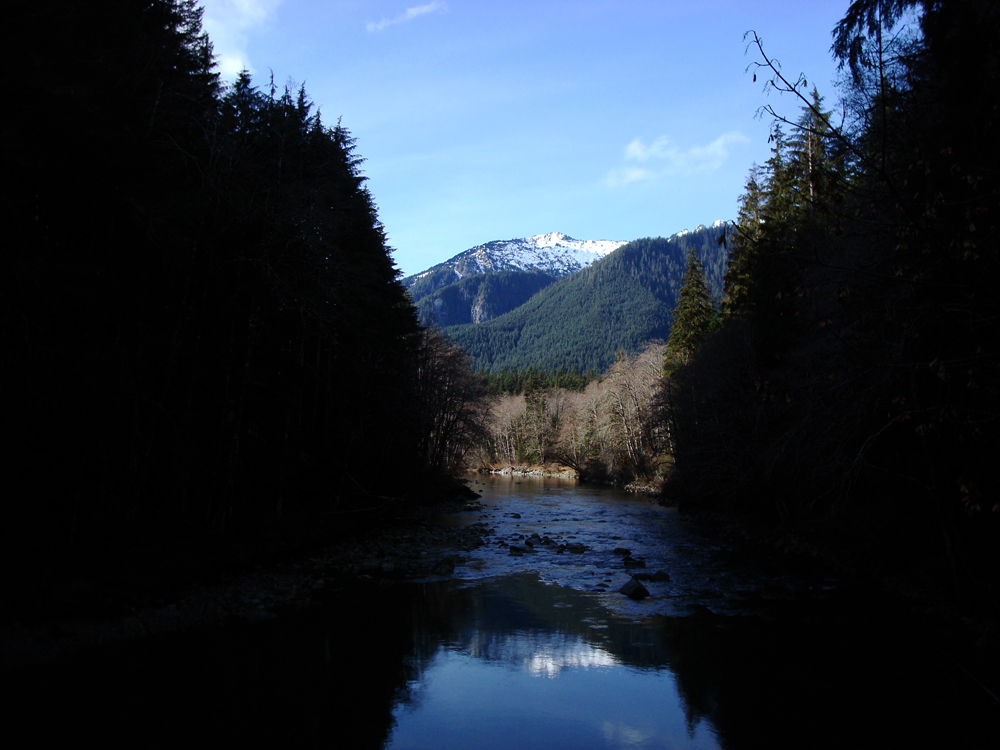
Here's a trail that has become an annual trek. It's perfect for winter and we usually hike it around February. It offers lots of greenery, a little up and down - yet small elevation gain - it opens up to occasional views and generally follows along the river. The Middle Fork-Snoqualmie River Trail.
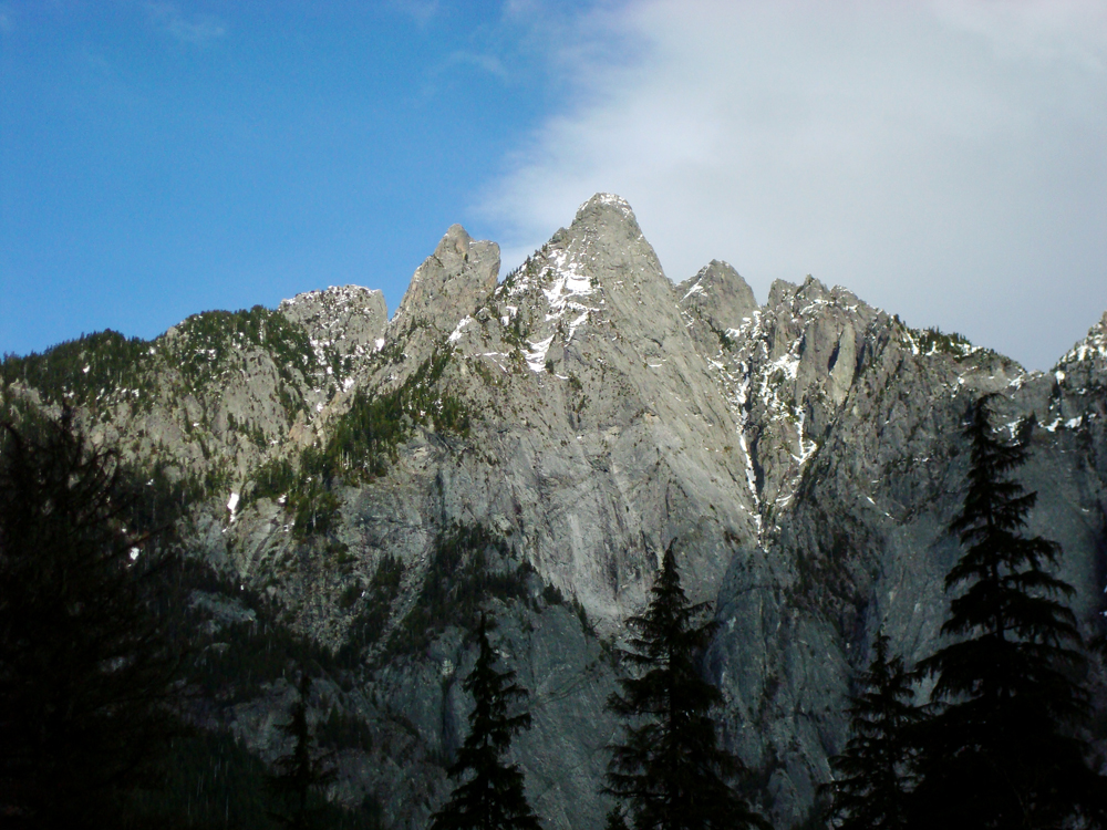
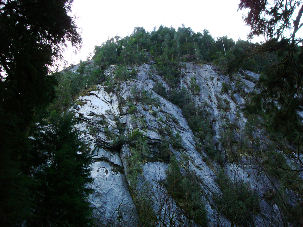
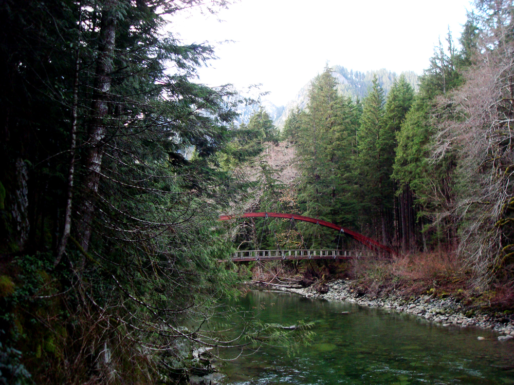
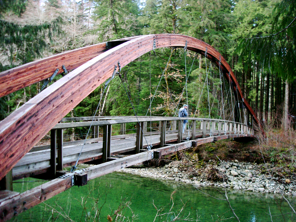
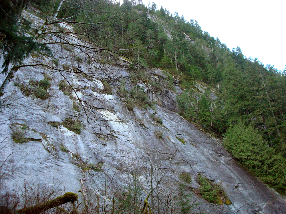
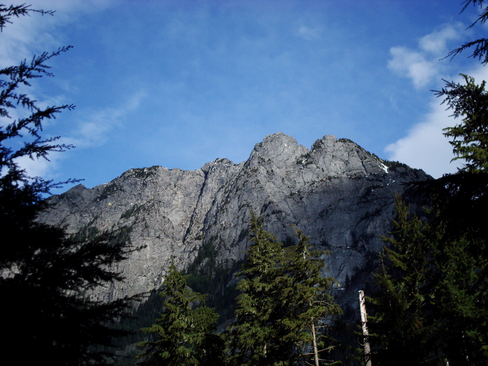
Shortly after departing from the trailhead, we cross the Middle Fork-Snoqualmie River on a pretty incredible looking wood-arched bridge. On this bridge is a nice view of the river valley, lined with trees. Less than a half mile in, are the rocky cliffs of Stegosaurus Butte that rises up beside us.
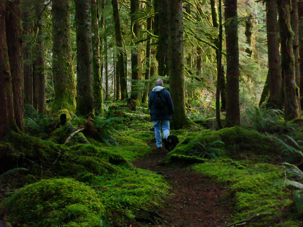
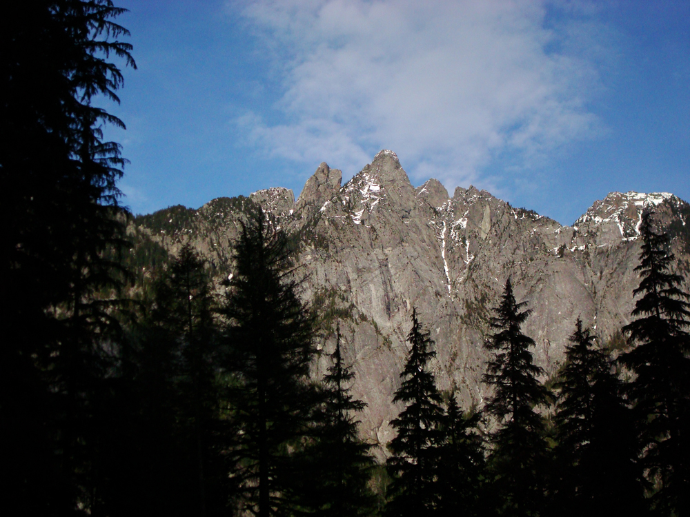
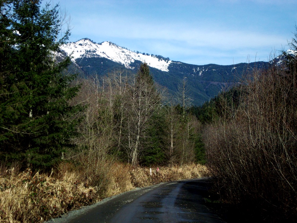
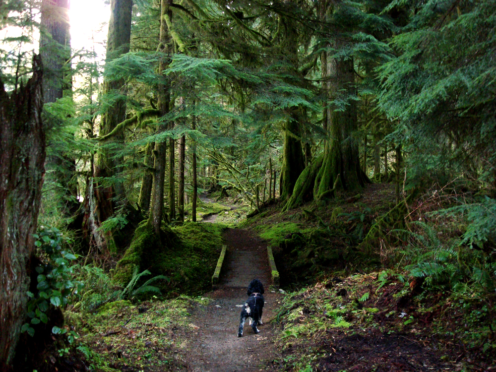
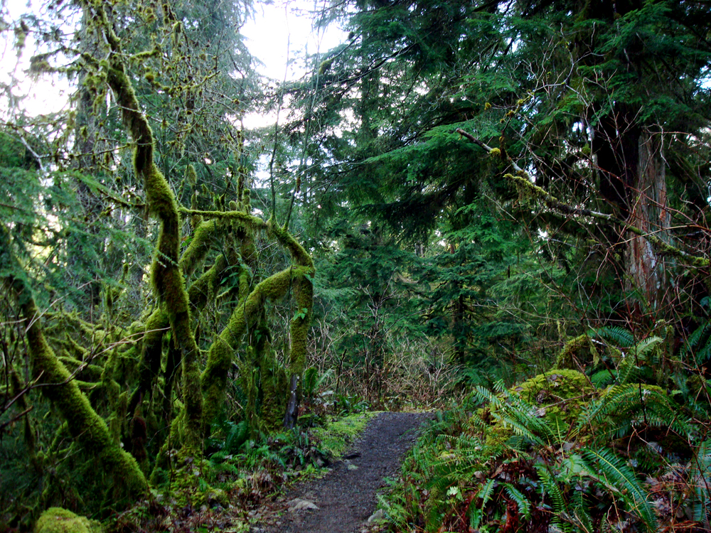
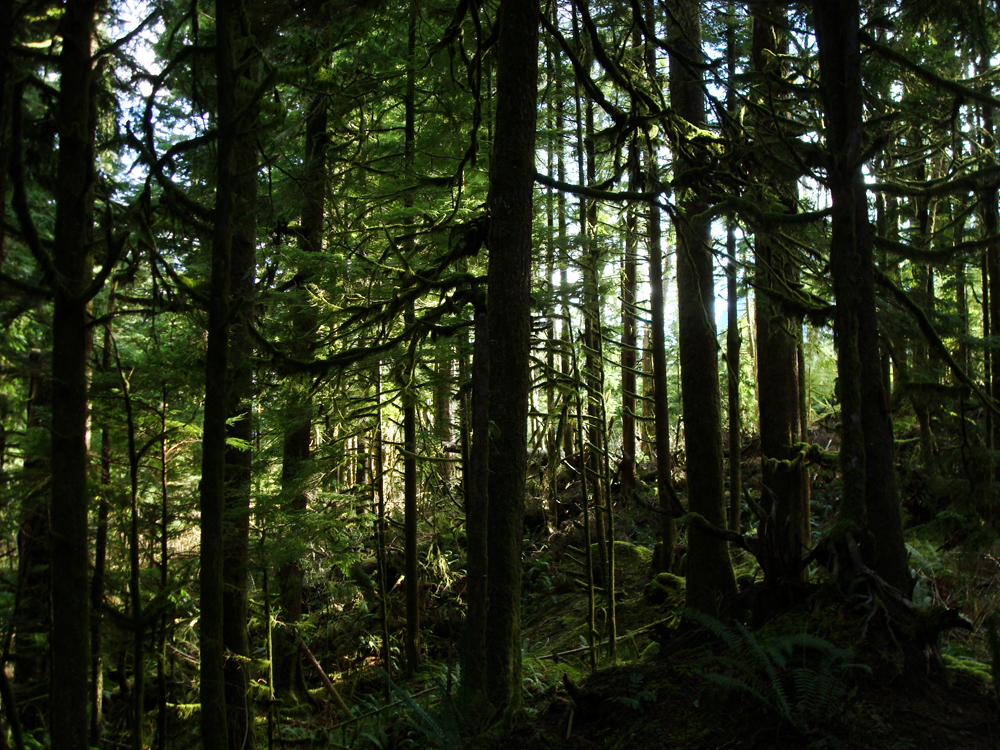
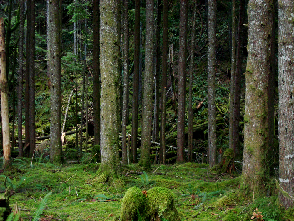
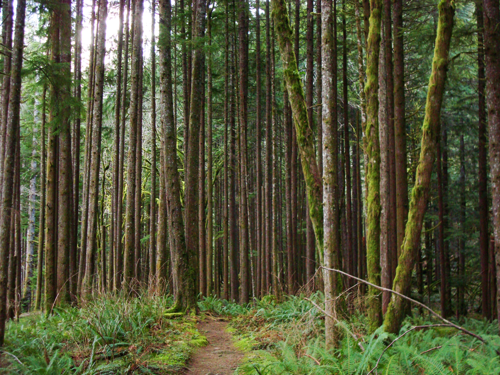
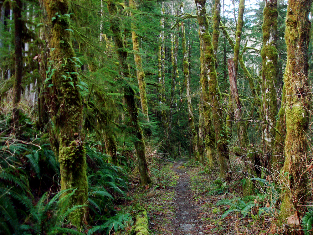
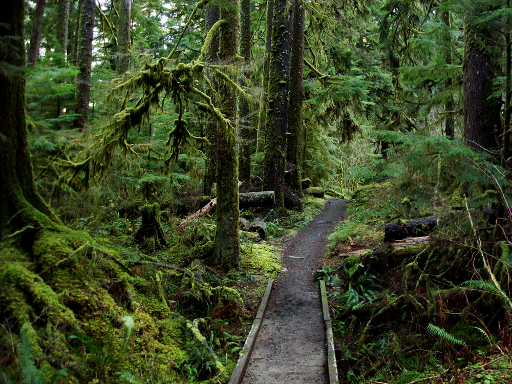
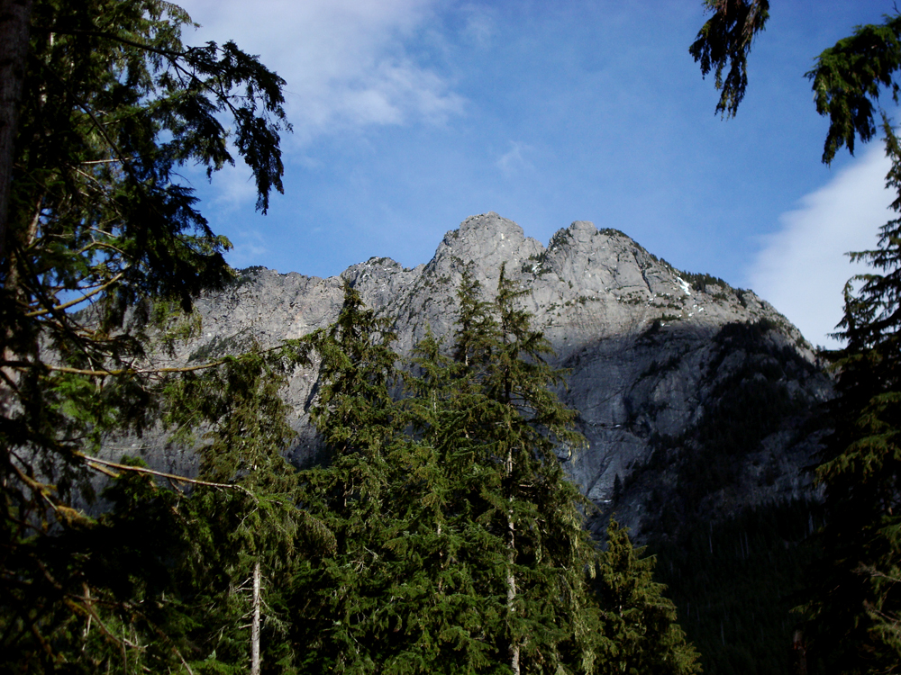
Much of the trail is second growth forest, yet the trees are tall, fifty years after the area was logged. The trees and boulders are heavily moss-covered, the ground is enveloped with ferns and small plants and all above us is the canopy of the forest, at times opening up for views of Garfield Mountain and the valley.
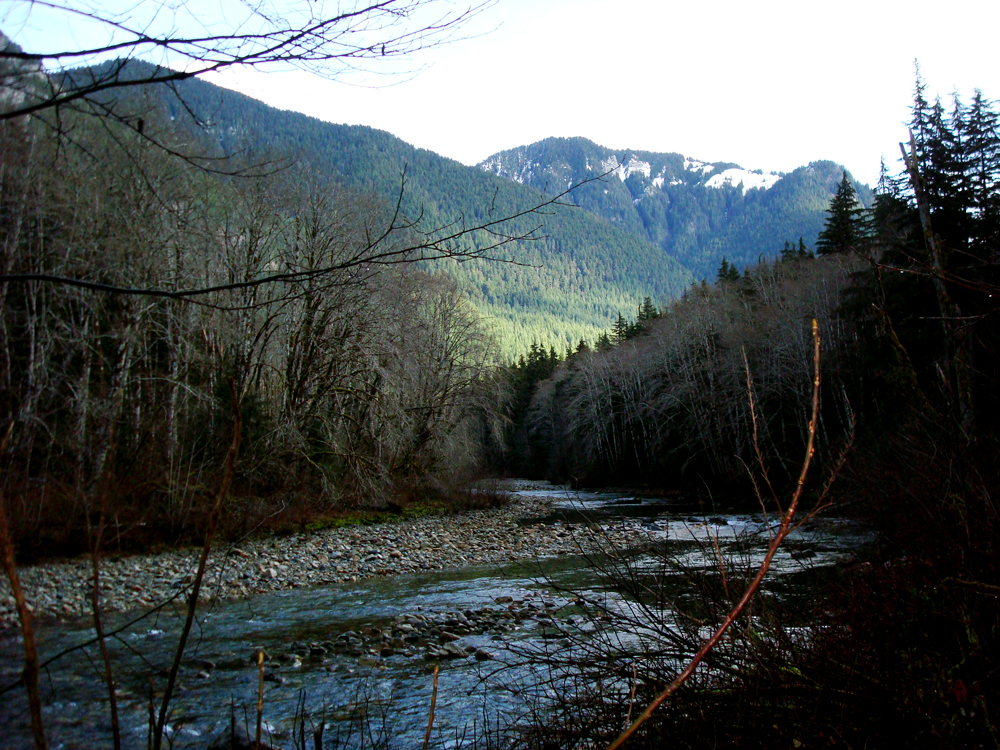
Less than two miles in, the trail follows an old railroad grade. We sometimes need to jump over fallen trees as it begins to climb away from the river. Along the way, we cross on small bridges over several creeks until again reaching the river at about three miles into the hike. Here is a nice opening in which to enjoy the river and view, and grab the water and trailmix. Many times, this is a good turn-around point for making it a nice six-mile round-trip outing.
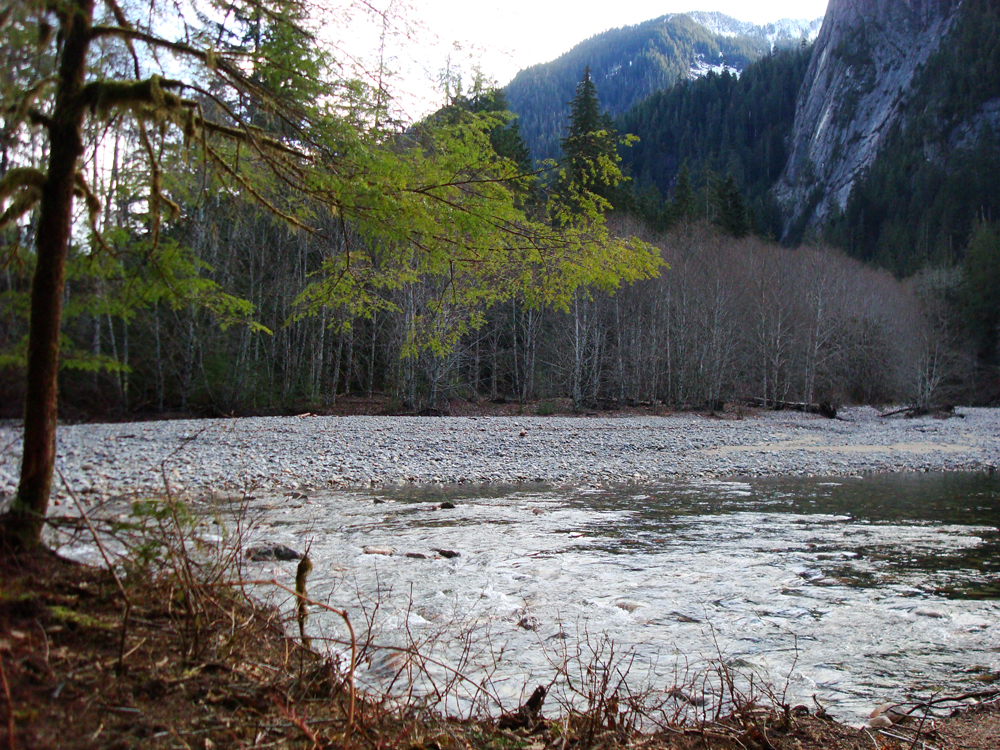
If we continue further, another half-mile ahead is a campsite followed by a few up and down hills, then at five miles is a bridge that crosses Cripple Creek. To continue onward would take us to the Dingford Trail junction and down to another bridge over Middle Fork. That would make it a ten-mile round trip. In fact, the trail itself continues around 14-miles one-way to Dutch Miller Gap, on the other side of Snoqualmie Pass. There is also a cut-off trail, that I notice on our maps, that would eventually take us up to Snow Lake...in a round-about way.
Middle Fork Trail: Quick Points
Coming from Seattle, head east on Interstate 90 and take exit 34, just east of North Bend. Head north on 468th St SE, and just past the truck plaza is Middle Fork Road on the right. It is also called Forest Service Road 56. It's about 11.5 miles to the trailhead, which starts you out at the 1,000 foot level. The trail itself gains only around 350 feet...but you lose, and gain it, several times. You will need your NW Forest Pass to park, or you risk a ticket.
Follow Us on Twitter - twitter.com/trailsnorthwest
Middle Fork