Rattlesnake Ledge
Rattlesnake Ledge & East Peak
From The Busy Ledge to the Quiet Peak
Any hiker that lives near the Seattle area has at least heard about Rattlesnake Ledge. Judging by its popularity, it's also safe to say most hikers have also traversed it...at least once. This trail is right up there with Mount Si and Tiger Mountain when it comes to crowds, much for the same reason...it's an awesome trail with an incredible viewpoint and, at just 35 miles away, it's close to the city.
There's no reason to let all the people scare you off. This is a nice hike, especially in the winter, and most fellow hikers are friendly. We said "hello" back and forth a good many times to strangers heading the opposite way, or as we passed. This is an extremely friendly dog trail as well. In fact, if I read the sign correctly, a leash isn't really required...just being in "control", voice command or otherwise, is all that's needed.
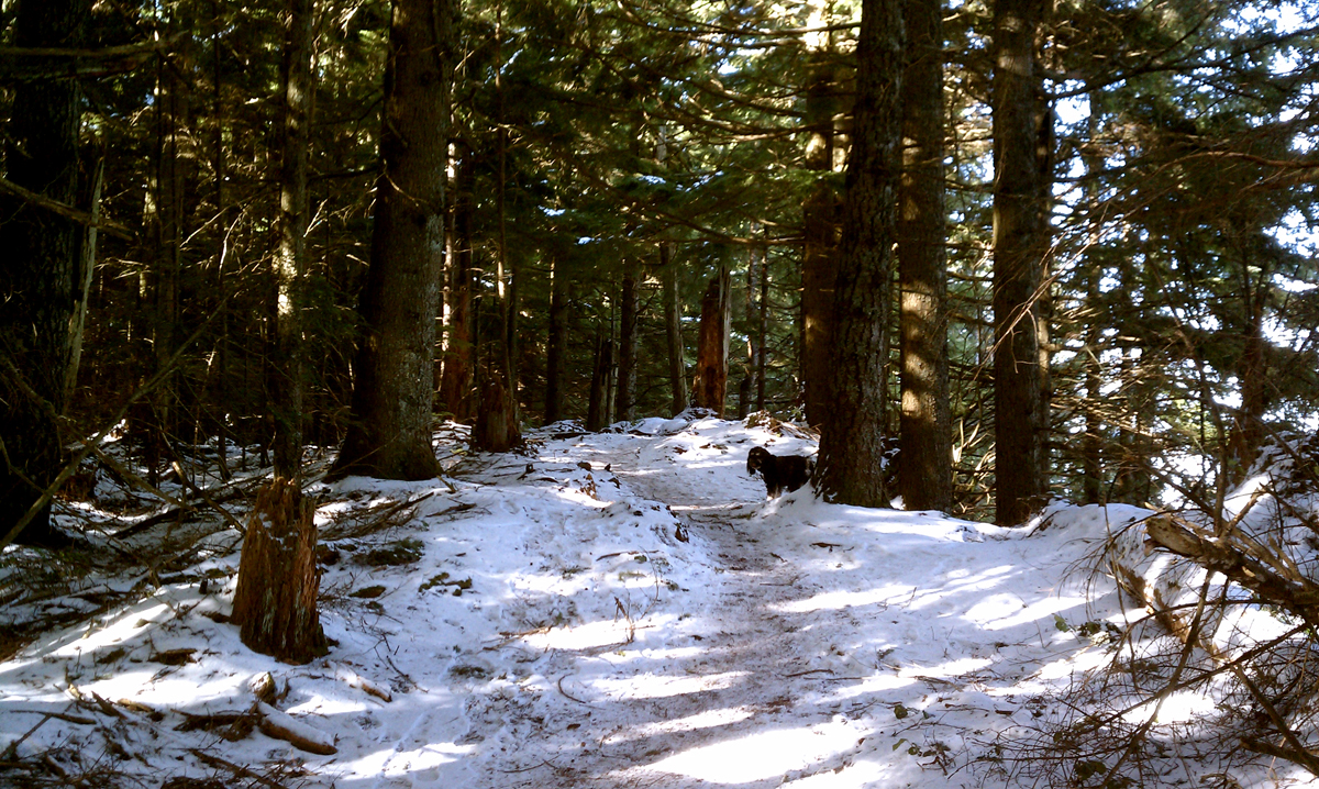
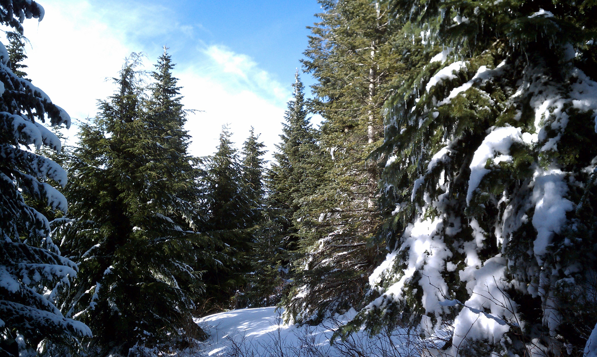
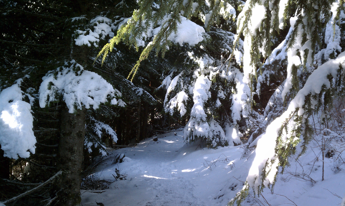
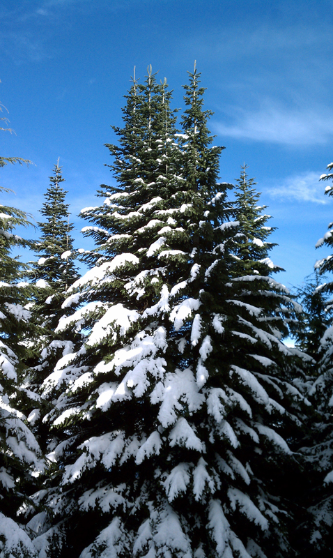
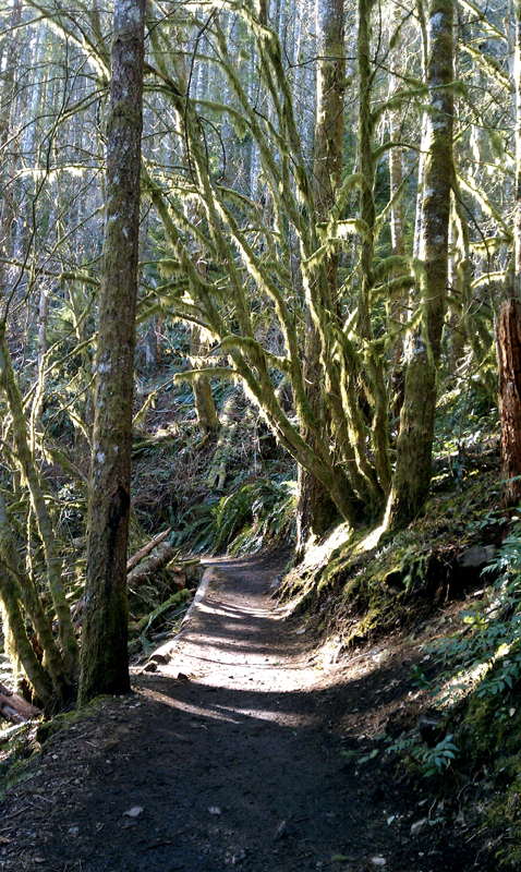
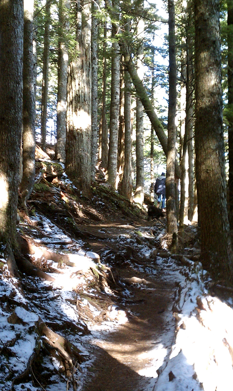
The Rattlesnake Ledge trail was nicely rebuilt in 2003. This trail climbs over 1,000 feet in the first mile and a half as you switchback up the mountain side. Even in winter when the Alders are bare, the forest is green with Hemlocks and Firs, many of which are draped with the ever-present northwest moss, and the ground is covered with ferns.
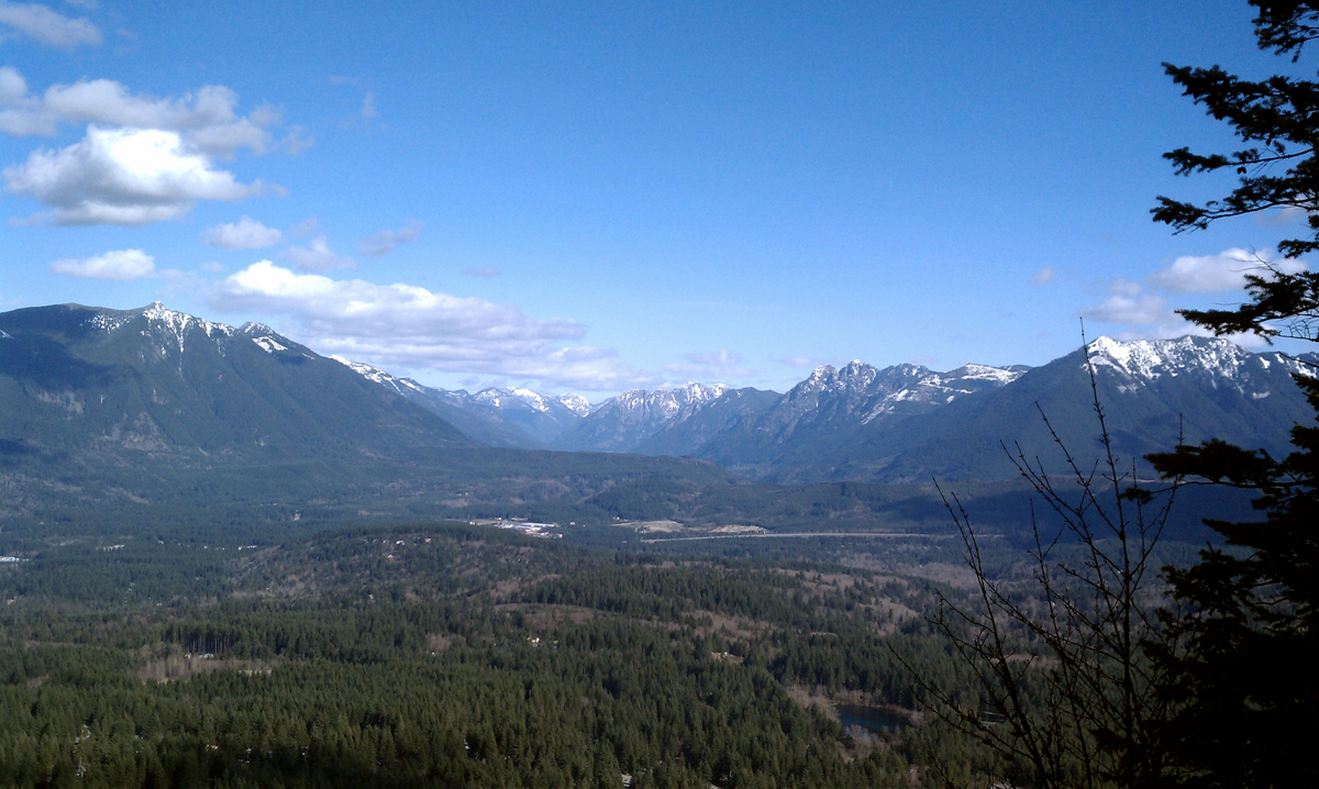
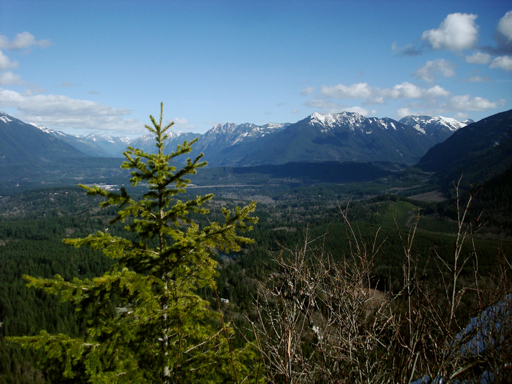
One mile into the hike is the first opening through the trees for a southerly view. It overlooks the protected Cedar River watershed and a view of Mount Lindsay. Another mile up from there is the real viewpoint...Rattlesnake Ledge.
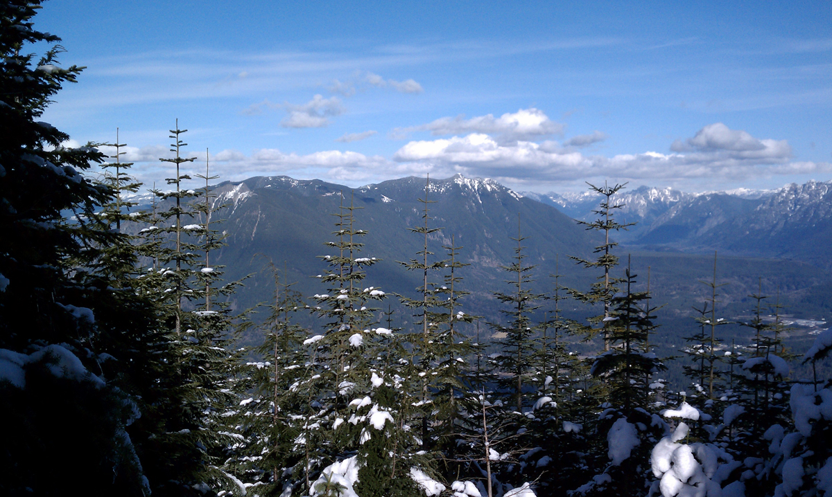
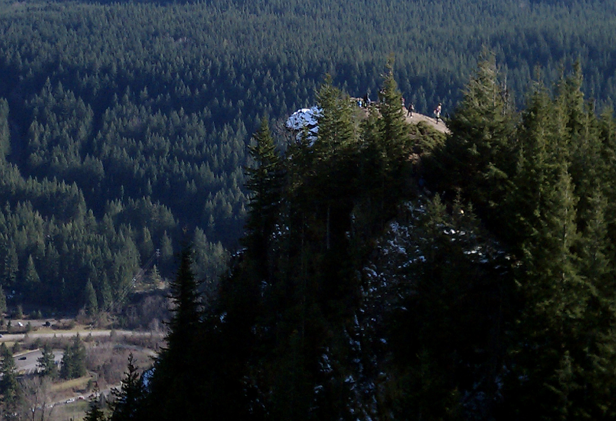
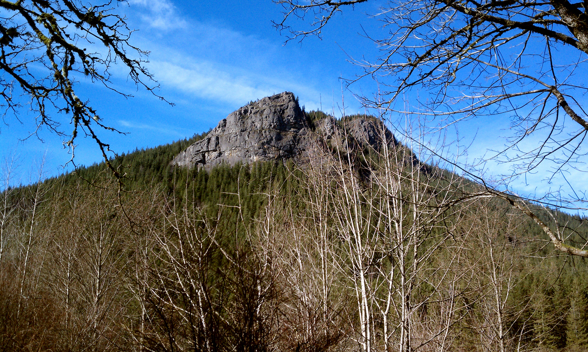
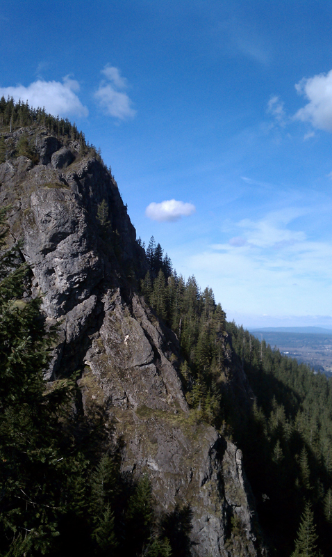
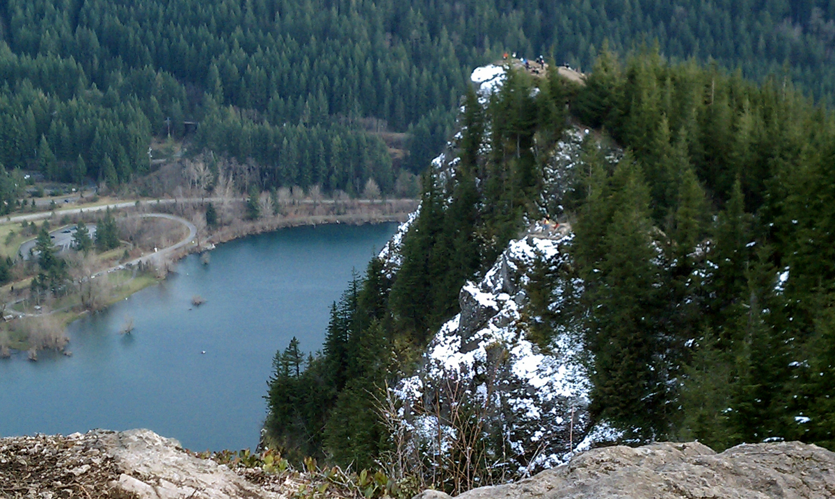
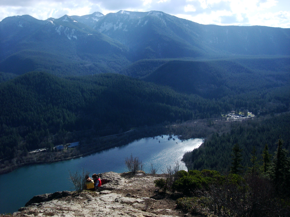
Rattlesnake Ledge is what the name implies - a rocky ledge, precariously overhanging the side of Rattlesnake Mountain. The ledge can get crowded and hikers with dogs or children should have them in control at all times...one wrong step and it's 1100 feet down. The view from here is spectacular as it overlooks Rattlesnake Lake, Cedar River watershed, Mount Washington, Mount Si, Chester Morse Lake and all up and down the Snoqualmie River Valley. An incredible 270-degree north-facing view.
Once we have enjoyed the Ledge, we continue upward and immediately leave the crowds behind. Most hikers consider the Ledge itself as their destination and turn around after it. So, continuing upward to the East Peak is beautiful and quiet. East Peak is another 2.4 miles and another 1,400 feet up from Rattlesnake Ledge.
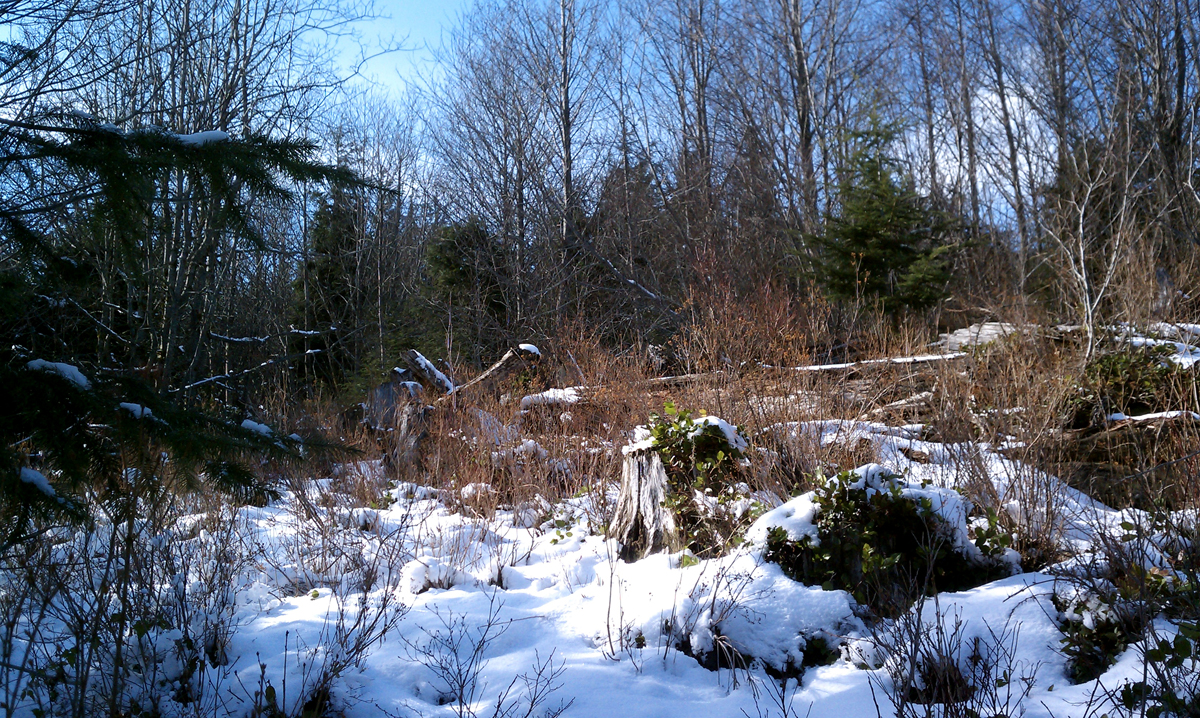
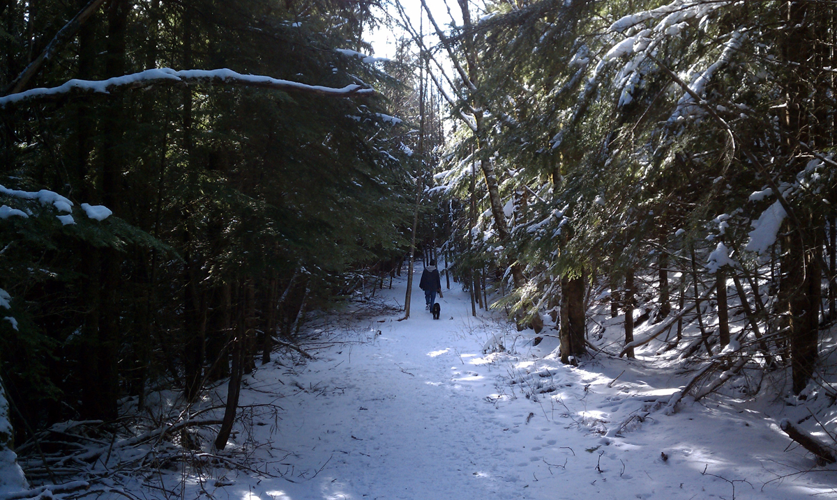
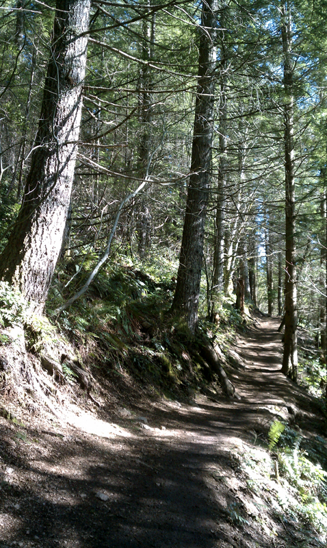
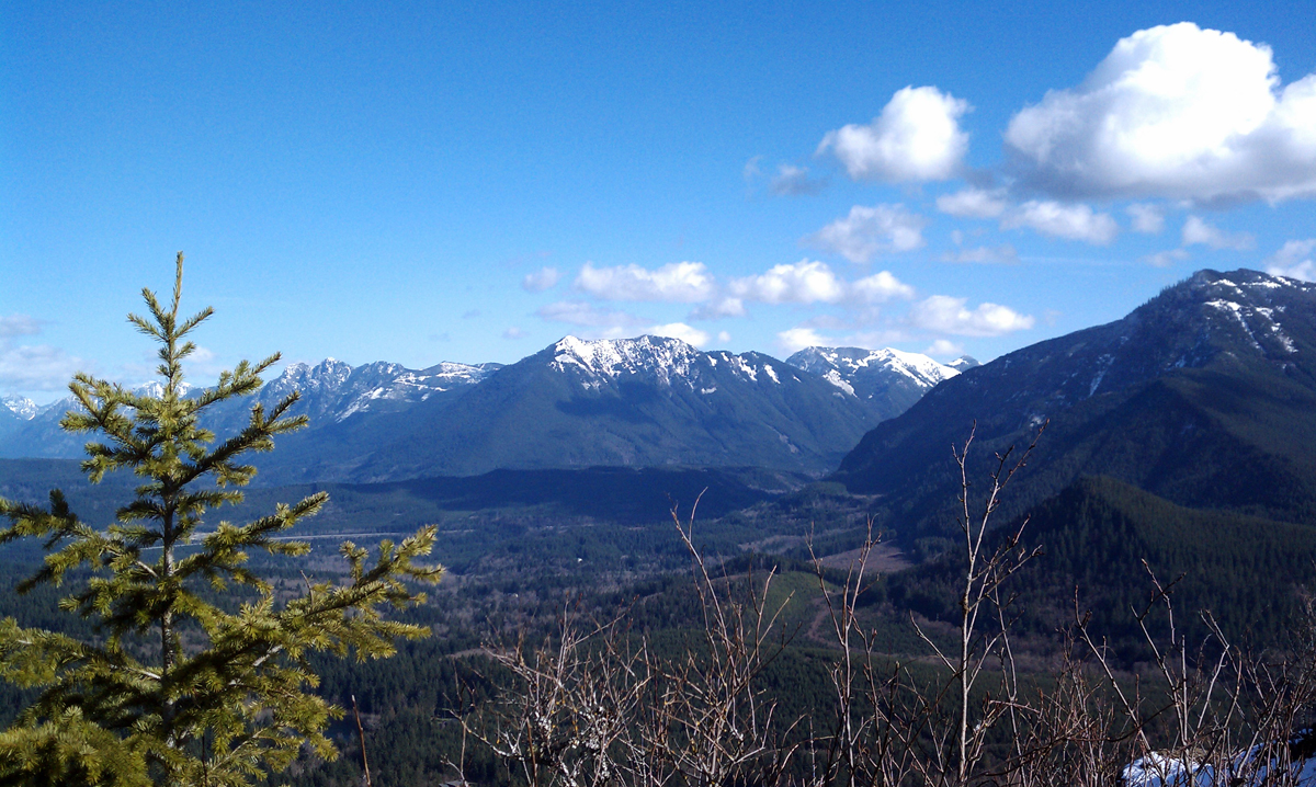
As we head upward, there are two more viewpoints along the way, each overlooking Rattlesnake Ledge below you. On this mid-February hike, the trail slowly becomes dusted with previous snowfall and becomes thicker the higher we get. It's never a problem and really adds to the splendor of the hike. Eventually we cross a few old dirt, snow-covered, roads that aren't publicly used. The trail is clearly marked to bypass them.
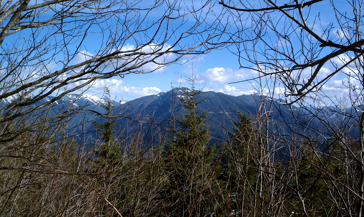
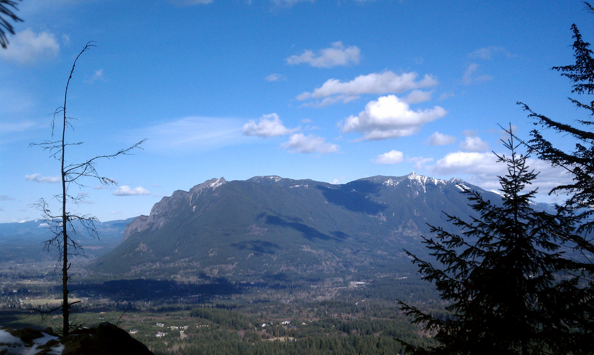
Upon reaching East Peak is a junction with a bench. Near it is another bench on the side of the mountain offering northerly views of Mount Si, the valley and I-90 way below. Head up another fifty yards to the radio towers and you're at the 3,500 foot summit.
At this point, we've hiked about four and a half miles and 2,500 feet in elevation to get here. (Going another 2.7 miles at this junction would take us to Grand Prospect Viewpoint and another 4.7 miles to the west Rattlesnake Mountain trailhead).
Rattlesnake Ledge & Peak: Quick Points
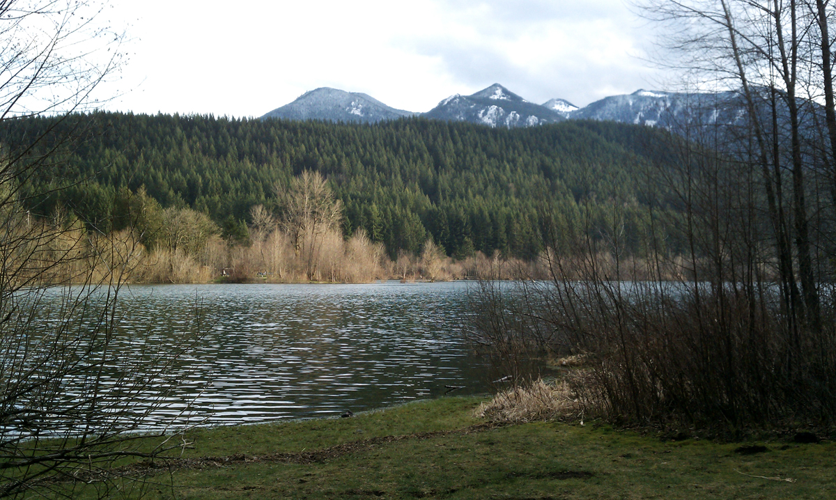
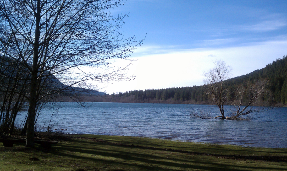
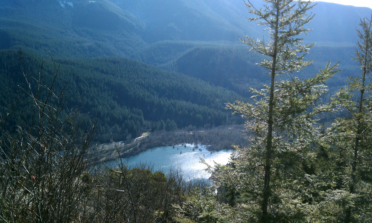
Take I-90 to exit 32 and head south on 436th Ave. SE and it becomes Cedar Falls Road. Less than three miles is the Rattlesnake Lake parking area. Not everyone parked here is heading up to the Ledge. Some are just enjoying the lake itself or fishing for the rainbow trout. The NW Forest Pass is required in your window. Once parked, follow the signs for Rattlesnake Ledge. Within a few short minutes you'll come to some porta-johns and a grassy knoll before the climb begins.
It's 4 miles roundtrip to the Ledge with 1,100 feet elevation gain and close to 9 miles roundtrip to the East Peak of Rattlesnake Mountain, for a total 2,500 feet elevation gain.
Follow Us on Twitter - twitter.com/trailsnorthwest
Rattlesnake Ledge