Talus Loop


Talus Loop Trail on Mount Si

Talus Loop: A Forest Trail in the Foothills
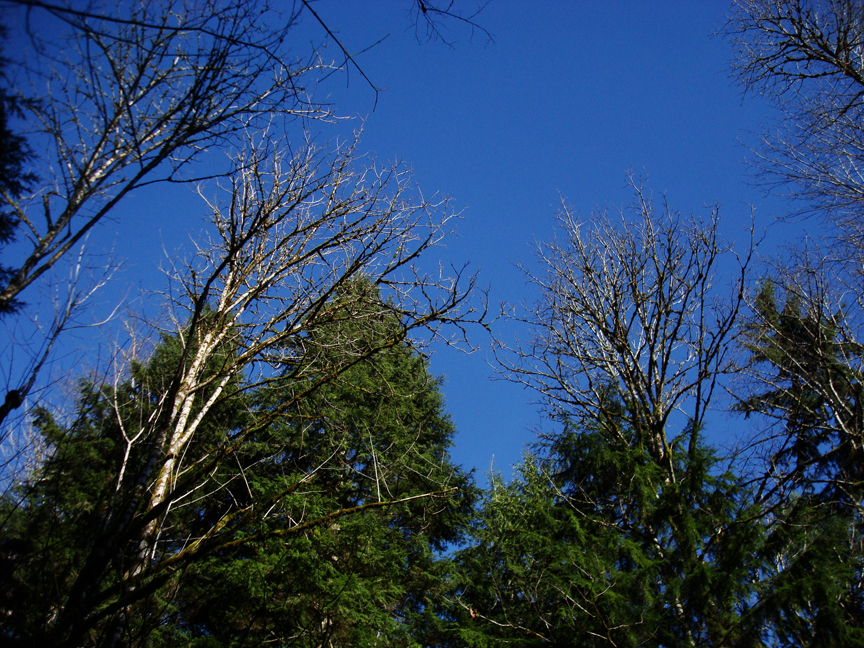
After several weeks of serious rain, floods and storms in the Pacific Northwest, I woke up on this mid-December day with blue skies, sunshine and the mountains glistening with snow cover. The snow is awesome to look at, to ski on, and for the snowshoes...but for my hiking boots today, I consider some trails in the foothills of the Cascades below the snow level. I'd been waiting for the return of some good old fashioned drizzle to hike in, but this morning's clear skies were a surprising treat. Today's trail pick is just outside of North Bend.
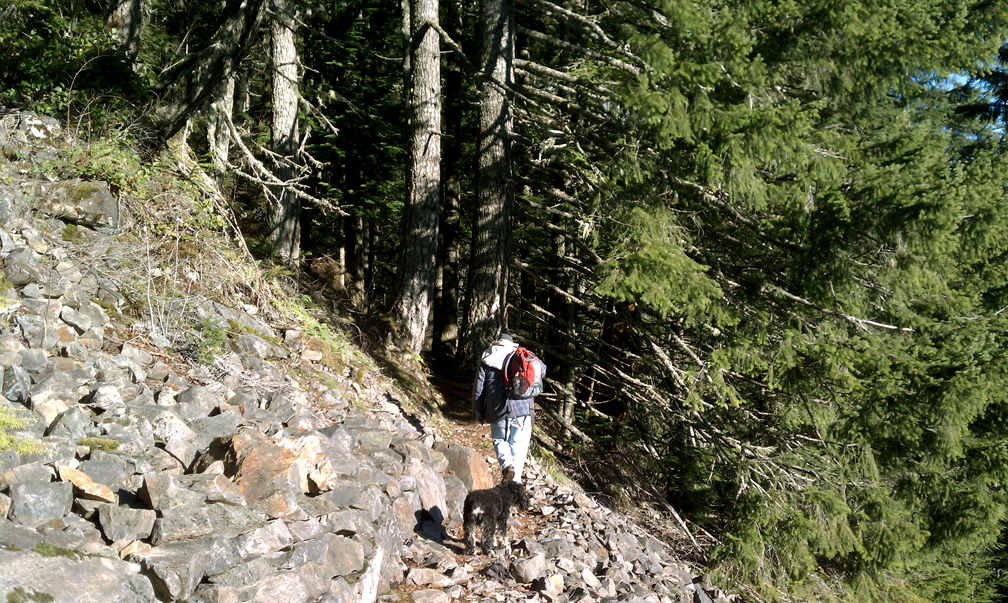
Talus Loop Trail is a taste of Mount Si. It starts the uphill climb on the same trail that will take you to the top of Mount Si. The Talus Loop however, takes you almost halfway up and then curves back around and down. The hike up is a cardio workout. In less than two miles the trail gains over 1,500 feet in elevation to the 2,000 foot level, before you turn off the main trail to loop down.
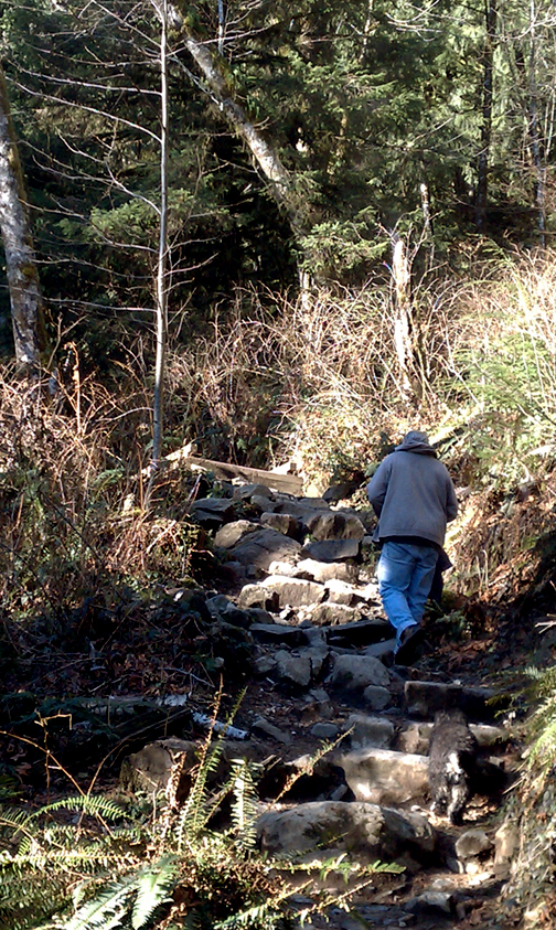
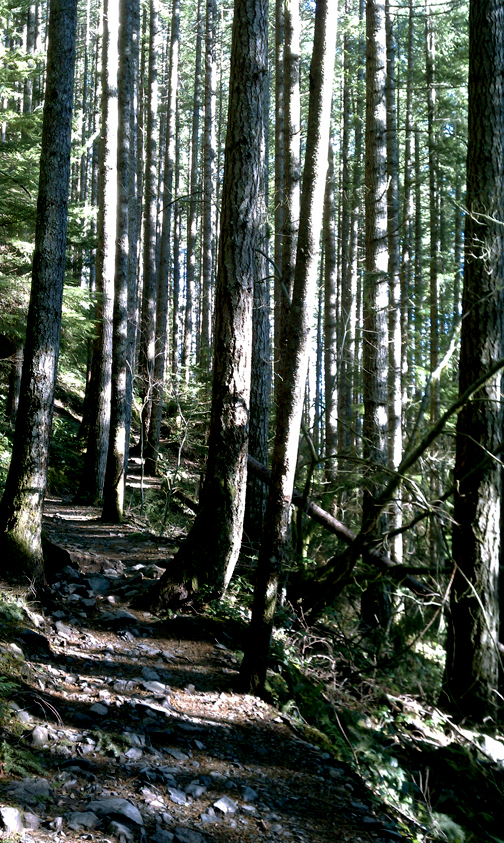
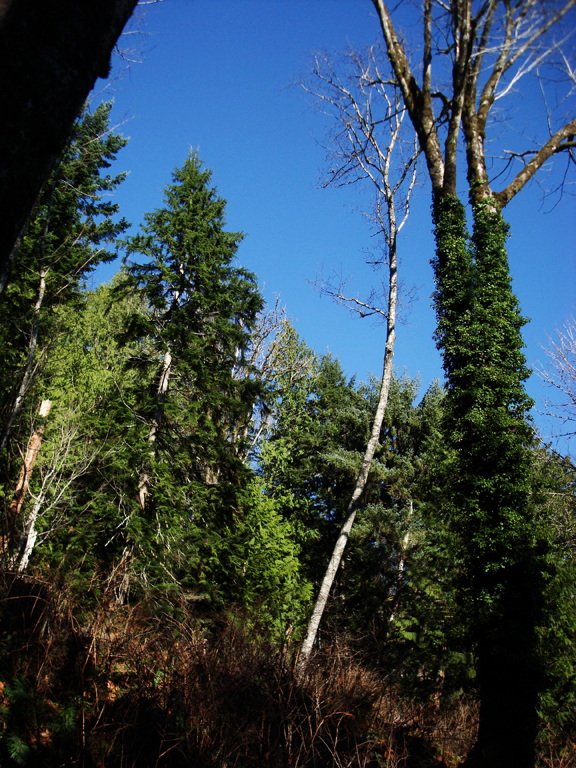
Just before you hit the one-mile marker, there's a sign that points to Mount Si to the left and Talus Loop to the right. It really doesn't matter which way you take, this is where the true loop begins. We turned left and stayed on the main trail to Mount Si. The next mile...is...up. You'll go through old growth trees with little in the way of views. This trail is a hike in the forest.
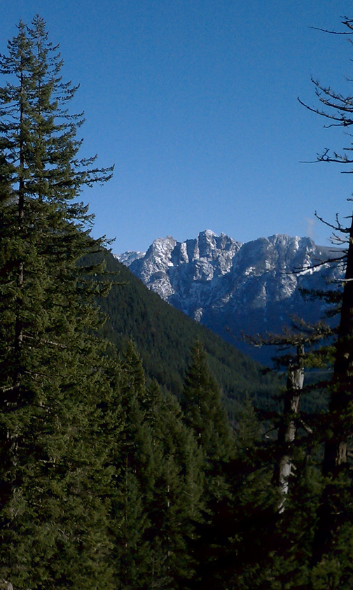
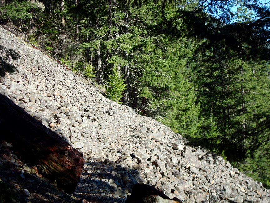
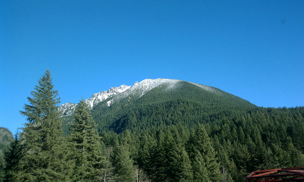
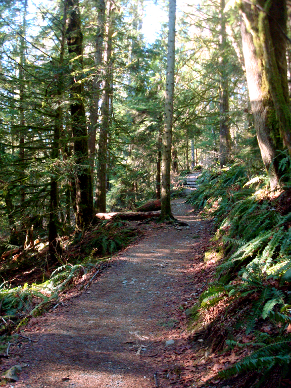
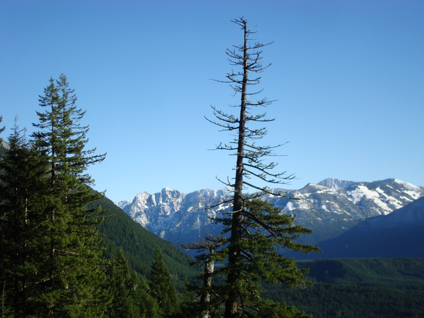
At just about two miles, you'll reach another fork in the trail. Left will take you to the top of Mount Si and right will continue your journey on the Talus Loop Trail and back down. Since we're doing the loop, we go right and the constant climbing is quickly a thing of the past. You'll cross a little stream and, shortly after, finally enjoy the one true viewpoint that this trail offers. It's a rocky avalanche chute opening with some photo-op views of the Snoqualmie River Valley and the peaks that surround it. After enjoying the view, you'll continue back down under the canopy of trees and evergreens.
This nearly four mile loop hike is rather uneventful. It's not a difficult trail, but it is definitely a trail that will challenge anyone that is out of shape, with its constant two-mile uphill climb. By the time you reach the two-mile fork of Mount Si/Talus Loop, you are almost half-way to the top of Mount Si...which is just another two miles and 2,000 feet upward. If you have the time and energy, consider going for it...that is where the views and a real goal lies. And personally, I prefer destinations like that (Alpine Lakes, Peak tops) before I head back , rather than lollipop loops such as Talus. But with short days and snow in the higher elevations, this is still some nice wilderness that is close to home, easy to access, and that can be enjoyed in a short period of time. A quick winter getaway.
Talus Loop Trail: Quick Points
To get to the Talus Loop trailhead, take I-90 to exit 32. Head north after exiting until you hit the end in less than a mile. Turn left on North Bend Way and go a couple tenths of a mile, then turn right on Mount Si Road...just before an espresso shack that you'll probably stop at on the way out. Continue another two and a half miles until you reach the large parking lot. It's large for a reason. This is also the trailhead to the enormously popular Mount Si...so if you're doing this on a weekend, you'll have company.
The Talus Loop Trail is about four miles round trip. Starting at an elevation of about 500 feet, you'll climb up another 1,500 feet to just over the 2,000 foot level before veering back down on the loop. By the way, if you decide to go for the gusto of the top of Mount Si, it's another two miles, 2,000 feet up.
Follow Us on Twitter - twitter.com/trailsnorthwest
Talus Loop