Taylor River

The Taylor River Trail
Taylor River Trail: Waterfalls and Bridges
The Taylor River Trail is actually marked as the Snoqualmie Lake Trail, although I've yet to hike that far during the winter months to experience it. On this mid-February day, we decide to hike five miles up to Big Creek Falls.
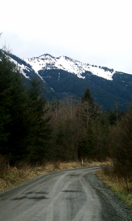
To get there, take exit 34 off I-90, turn down Middle Fork Snoqualmie Road. Most of the next 12 miles is now newly paved to the trailhead.The days of the long, rough, pot-hole laden road, that used to jar your bones and swallow your vehicle are past! On your way, you will pass the Middle Fork trailhead on the right, the campground on the left and stay left at the fork in the road. The end of the road is just around the corner.
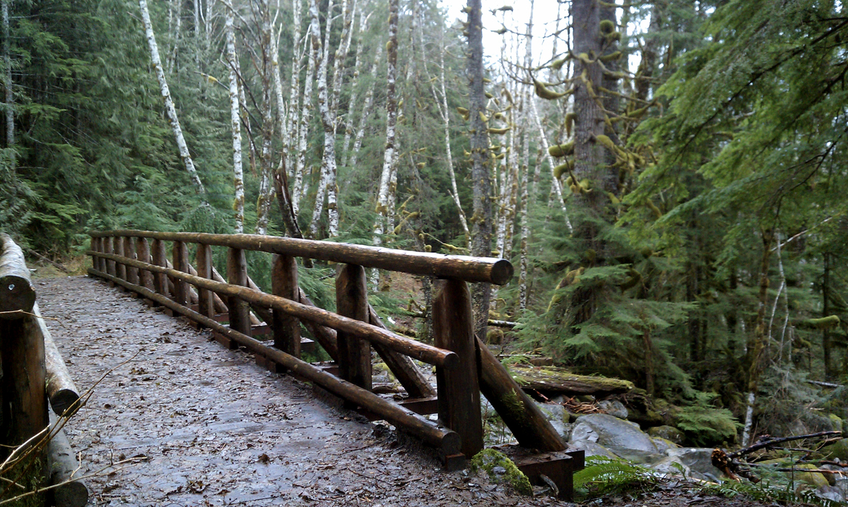
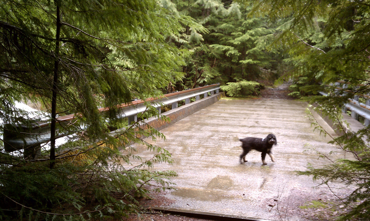
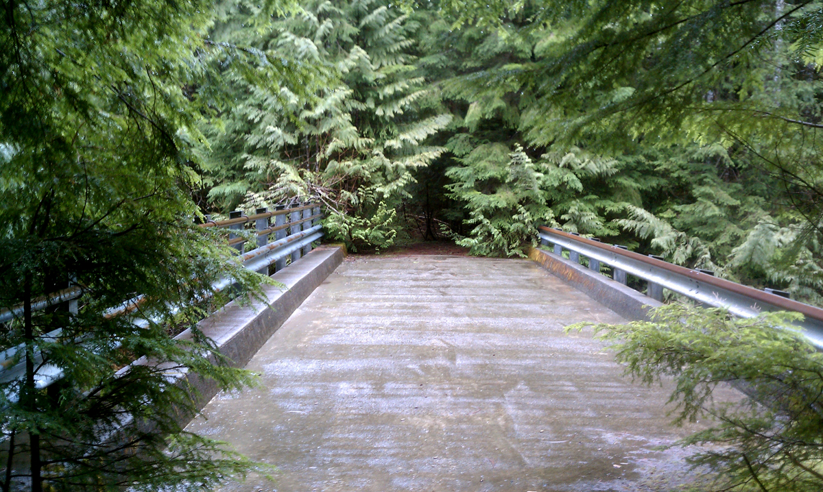
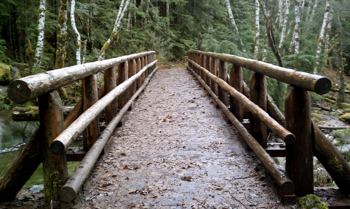
It didn't always used to be the end of the road. There's a gate that prevents us from going further over the bridge and that is where the trail now begins. The trailhead sign reads "Snoqualmie Lake Trail". If you continue many miles on this trail, it does indeed take you there. This trail is also called Taylor River because it follows along the river much of the way, and the trail itself was indeed called Taylor River Road at one point. It was an old logging road and there was also a plan for a development project many years ago that never happened. Five miles into the hike is a bridge that looks out of place because of it. It is this bridge that is our destination to reach and turnaround at, making it a 10-mile roundtrip excursion.
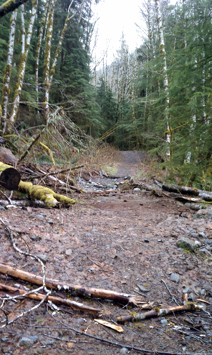
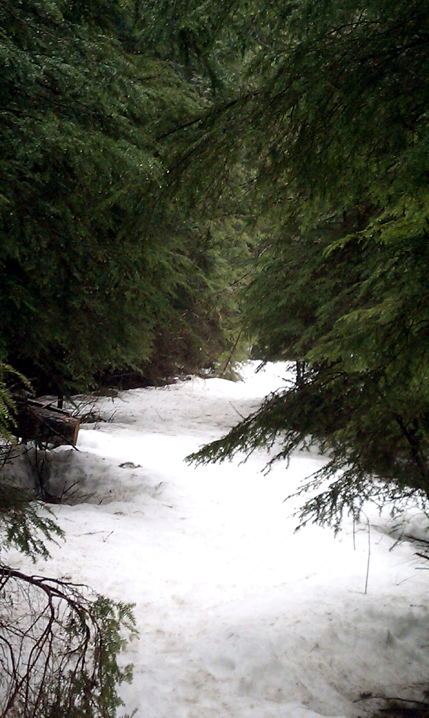
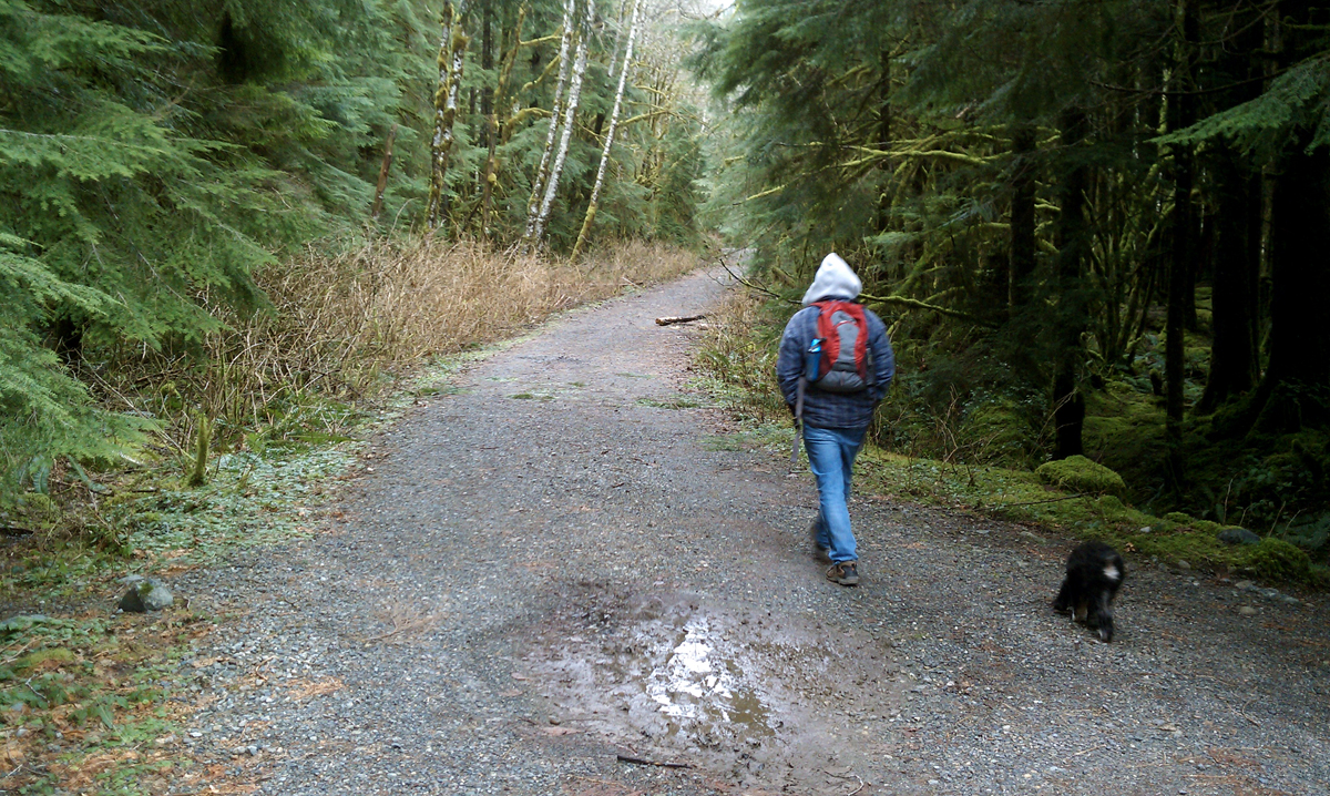
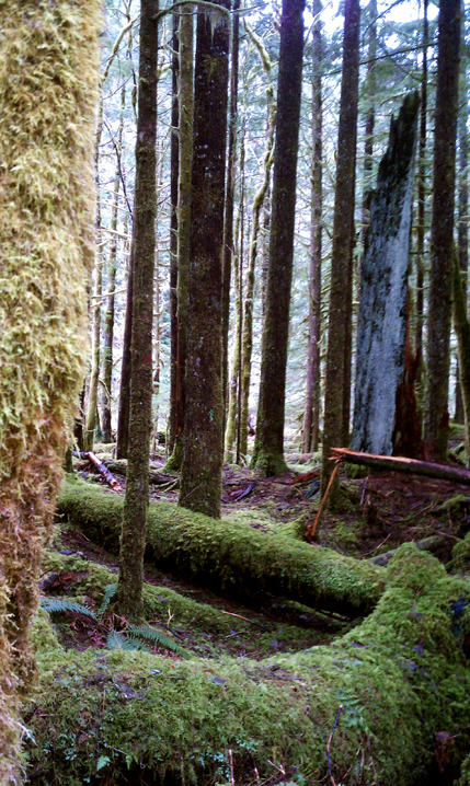
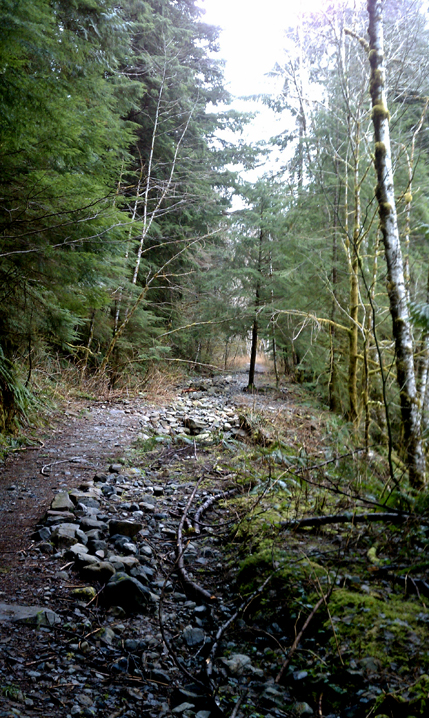
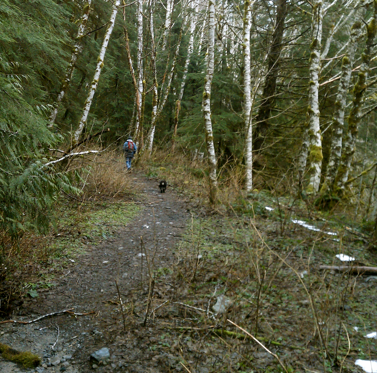
The trail at times reveals itself as an over-grown road, yet other times it is narrow without a hint of previous activity. Much of the trail is strewn with rocks embedded into the ground. These aren't loose rocks, but it should be noted that this is not a "soft" trail. Waterproof hiking boots also came in handy. There are numerous run-offs and streams to jump over, and in the winter, although usually passable, it is wet. On this day, there was a constant drizzle.
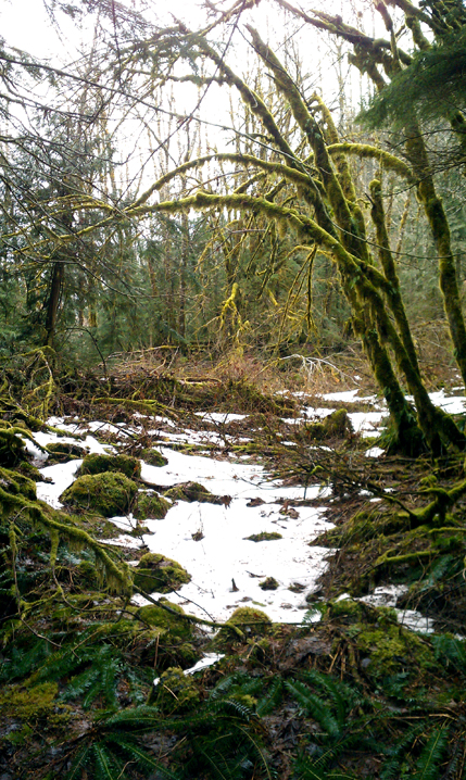
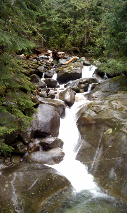
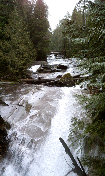
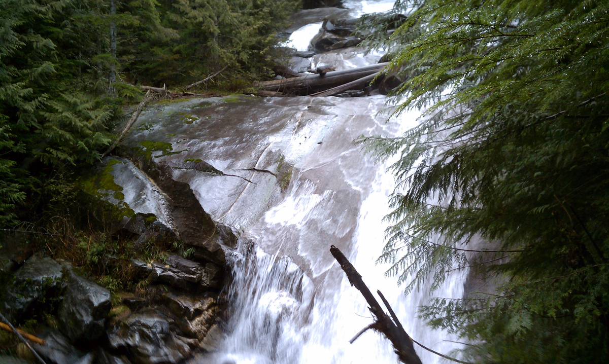
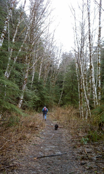
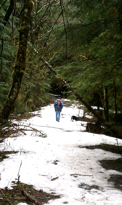
The trail begins at the 1,100 foot level and climbs to 1,700 feet over the next five miles. There are three waterfalls along the way...Morten Falls at 3 miles in, where there is a picturesque cedar bridge to cross over. Otter Falls is at 4.5 miles and Big Creek Falls at 5 miles, where the heavily constructed, concrete bridge crosses over. As we climb, we occasionally encounter patches of snow, but nothing that's a blockage along the way.
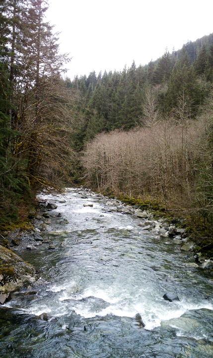
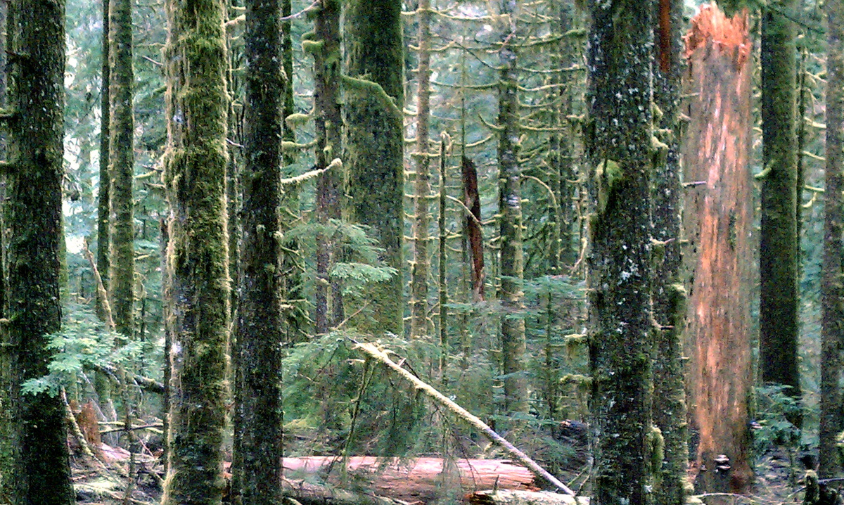
As an all-seasons trail, this is a nice getaway. It's not a difficult hike, gaining less than 700 feet elevation, much of it in the first three miles. There are many views of Taylor River below to the right, as well as the Snoqualmie Range beyond it. As the photos on this page show, the forest is filled with greenery and moss-covered logs and rocks.
Taylor River Trail: Quick Points
Take I-90 to exit 34 and head north past the truck stop area. Turn right at Forest Road 56, also called Middle Fork Snoqualmie Road. It's about 12.5 milesto the trailhead. At 11 miles, pass the parking area for the Middle Fork trailhead on the right, followed by the campground on the left. At the fork, stay left until you hit the end of the road and park. The trail begins at the bridge.
Trails Northwest .com - Full Debut As The Year Progresses!
------------------------------------------------
Follow Us on Twitter - twitter.com/trailsnorthwest
Taylor River